



HomeWho we serveTradesSitework
Trade · Sitework & Earthwork · CSI Divisions 31–33Cut-and-fill volumes that come from two surfaces, not one plan.
Sitework quantities — cut and fill in cubic yards, utility trenching in linear feet by pipe size and depth, paving and curb in square feet and linear feet — depend on comparing an existing-conditions surface to a proposed-grading surface across the whole site, which is a different kind of takeoff problem than measuring a single building sheet.
 T-09 · Sitework
The drawing-reading problem: earthwork is a volume between two surfaces
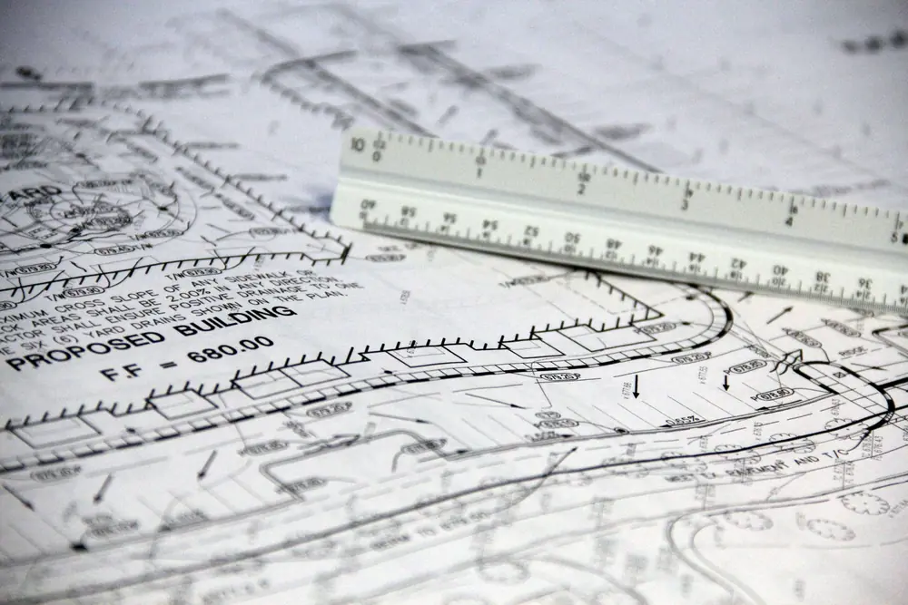
Cut and fill volume is not a quantity you can read off any single line or hatch pattern — it is the volumetric difference between an existing-grade surface (built from surveyed spot elevations and contour lines) and a proposed-grade surface (built from proposed contours and spot grades on the grading plan). Both surfaces have to be reconstructed from the drawing’s vector contour and spot-elevation data before a cut/fill number means anything, and a rasterized sheet cannot supply the elevation values needed to do that at all.
Utility trenching adds a routing-and-depth problem: a utility plan shows pipe routes in plan view with invert elevations called out at structures, and trench depth — which drives excavation volume and bedding quantities — comes from the difference between existing grade and the pipe invert along the route, not from the plan view alone.
What gets measured, and in what unit
Six object classes cover a typical sitework package. Each keeps its own unit instead of being folded into a single blended quantity.
| Takeoff object | Unit | How PiloBuild resolves it |
|---|---|---|
| Cut & fill | CY | Volume between reconstructed existing-grade and proposed-grade surfaces from contour and spot-elevation data. |
| Utility trenching | LF, by pipe size, with depth by station | Depth from grade-to-invert difference along the routed path, not an assumed constant. |
| Excavation & bedding | CY | Trench cross-section applied along the routed length and computed depth. |
| Paving | SF, by pavement section | Asphalt and concrete paving areas by section detail (thickness, base course). |
| Curb & gutter | LF, by profile type | Routed along the site plan, classified by curb detail callout. |
| Erosion control & site utilities structures | EA (structures), LF (fencing/barrier) | Manholes, inlets and cleanouts counted and matched to the utility schedule. |
Classification, resolved before the quantity is produced
Because PiloBuild reads the vector contour lines and labeled spot elevations directly from the CAD data rather than rasterizing the sheet, it can reconstruct existing and proposed grade surfaces from the actual elevation values on the drawing and compute cut and fill as the volume between them, instead of a rough grading-plan approximation.
Utility routes are classified by system (storm, sanitary, water, other dry utilities) and matched to their invert elevation callouts at structures, so trench depth along the route — and the resulting excavation and bedding volume — is computed from actual grade-to-invert difference rather than an assumed constant depth.
What you get back on a sitework package
Quantities by class
Every sitework object above, grouped the way your estimating desk already groups it, with the unit that matches how it is bought.
A geometry audit trail
Each quantity links back to the sheet, the resolved callout or schedule row, and the scale a person confirmed.
A BOM cross-check
Design-intent drawings compared against a subcontractor shop-drawing takeoff on the same scope, with discrepancies listed before they reach the field.
3 questions, specific to sitework
What CSI division does Sitework takeoff fall under?
Primarily CSI Division 31 (Earthwork). Related sections we classify against on a typical sitework package include: 31 22 00 Grading, 31 23 00 Excavation and Fill, 33 00 00 Utilities.
Does PiloBuild replace our estimator on this trade?
No. PiloBuild produces the measured quantities, grouped and classified the way this page describes, and a bid summary showing the arithmetic behind the cost build-up. Your estimator applies judgment, reviews the classification, and owns the number that goes on the bid. The scale confirmation and the review-and-approve gate exist specifically so a person checks the machine, not the other way around.
What happens when the drawing set is incomplete or the schedule is missing?
Where a callout cannot be resolved — a wall-type tag that does not match any schedule row, a size annotation with no nearby segment to attach to — the item is flagged rather than guessed. An unresolved item is reported to your team for a manual read, not silently dropped or estimated with a default.
Run a pilot on a sitework set.
Bring one drawing set and the estimate you already have. We measure it, you compare it line by line.